Geographic Reference 3D Print Models
10000+ 3D Print Models
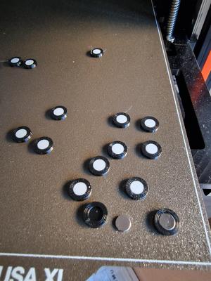
3D Scanning - Reference Point with Magnet
printables.com
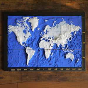
3D World Map
printables.com
Geometric world map (resized version)
printables.com
Alaska, USA (AK) Topographic Relief Map with Rivers and Coasts
printables.com
Contiguous USA (Lower 48) Topographic Map with Hydrographic Features + Cura Print Settings Profile
printables.com
3D World Map
printables.com
Topographic globe with stand
printables.com
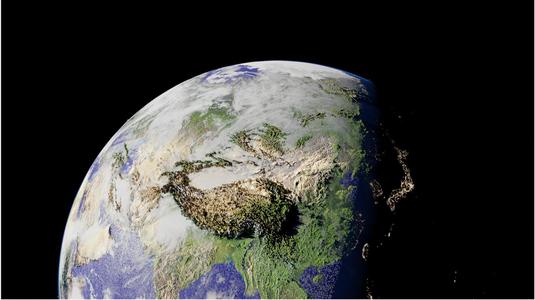
Detailed earth model from GIS data
printables.com
United States 3D Topographic Map
printables.com
Topo Map Example
printables.com
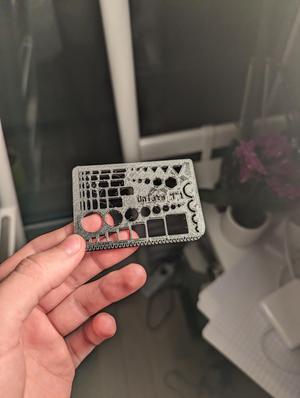
Normograph
printables.com
Physical Map of the Coterminous United States
thingiverse.com
Three slices of Earth
printables.com
Cartographer K1 series Mount
printables.com
Georgia
thangs.com
US Geographical Map 3d print
printables.com
Landform Library (tactile)
thingiverse.com
realistic earth with topography and bathymetry
printables.com
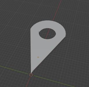
Geoguessr Pin
thingiverse.com
stand for globe
printables.com
Geometric world map
thangs.com
Normographe géographie
printables.com
Latitude & longitude display plate
printables.com
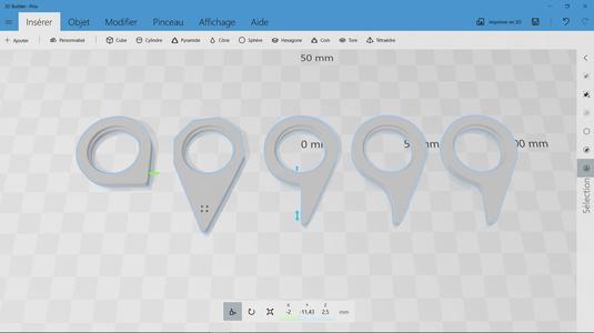
Location Marker Icon for Embedding
printables.com
Topographic 1013.ch 001
printables.com
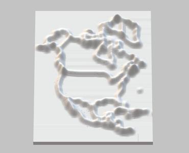
3d map of North America
printables.com
Geometric world map (resized version)
thangs.com
New York
thangs.com
Custom Raised Relief Map
printables.com
Detailed map of earth from GIS data
printables.com
Geometric Abstraction landscape
printables.com
Map indicator, geographical point, map
cults3d.com
Geo-Maker! v3
printables.com
Longitudinal Representation of Earth
printables.com
Inflatable Globe stand
printables.com
Geo Arch Circle
thangs.com
Mount Ranier topo map
thangs.com
GeoMagnet Project Frame
printables.com
geographic map
makerworld.com
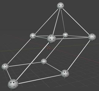
Magnetic 3D Coordinate Axis Reference
makerworld.com